
Accuracy You Can Verify
Project-specific control, independent checkpoints, and an accuracy statement—not a blanket accuracy claim.
Global B2B Drone Surveying
Providing drone surveying, 3D modeling, LiDAR mapping, and deformation monitoring solutions for construction, infrastructure, energy, and real estate.
Project-specific control, independent checkpoints, and an accuracy statement—not a blanket accuracy claim.

Airspace, operating category, local permissions, insurance, and site rules are confirmed before mobilization.

Coordinate system and file formats are agreed before capture for CAD, GIS, BIM, and engineering handoff.

Where licensing or sign-off is required, the scope includes an appropriately qualified local survey partner.
Surveying programs organized for clear procurement decisions and fast engineering handoff.
A procurement-ready workflow
Every proposal starts with the decision your team needs to make, then works backward to the right sensor, control method, validation plan, and deliverable.
Confirm site, use case, required tolerance, coordinate reference system, formats, and acceptance criteria.
Review airspace, permissions, weather, access, hazards, control layout, and contingency windows.
Collect RGB or LiDAR data with RTK/PPK positioning and documented field checks.
Check coverage, residuals, independent checkpoints, surface quality, and completeness.
Issue agreed files, metadata, limitations, and a concise QA summary.
Credible delivery scenarios showing scope, method, outputs, QA, and limitations.
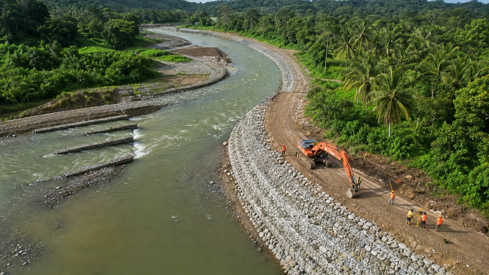
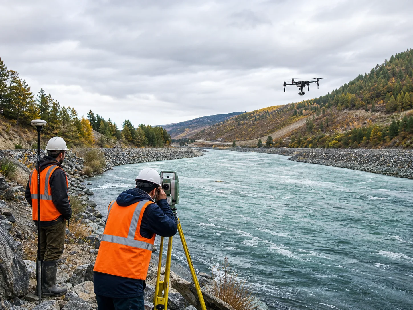
Bank lines, cross-sections, erosion evidence, and repeatable survey epochs.
Review project approach →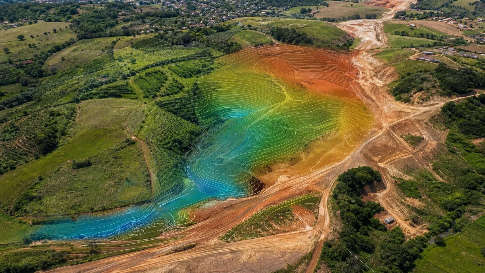
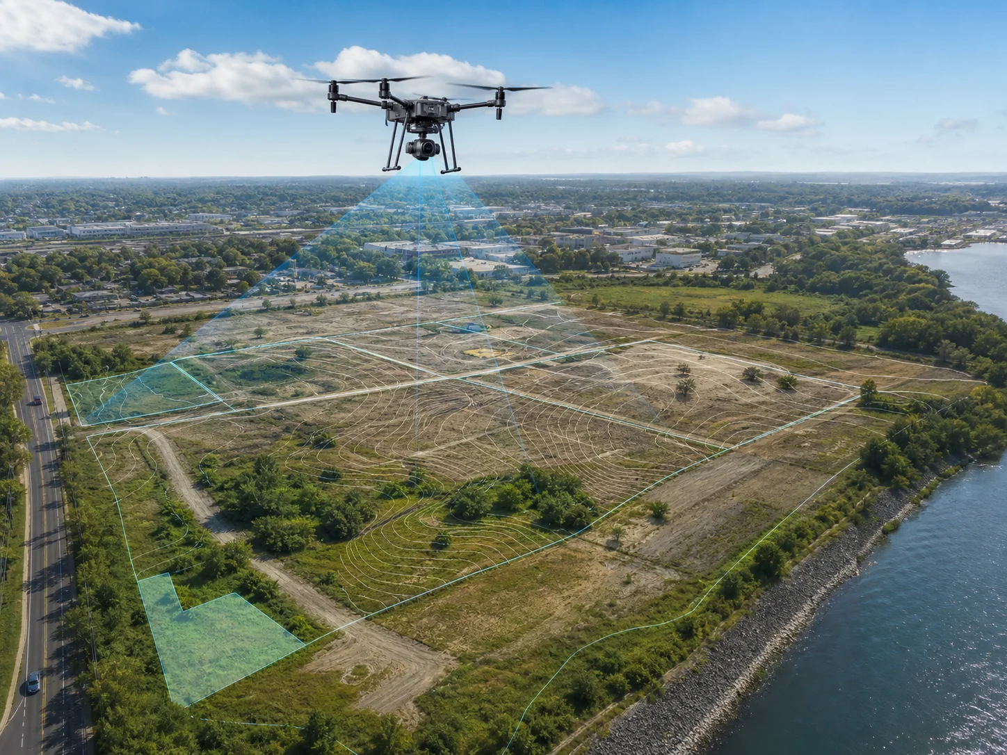
Surface models, contours, drainage context, and CAD/GIS-ready outputs.
Review project approach →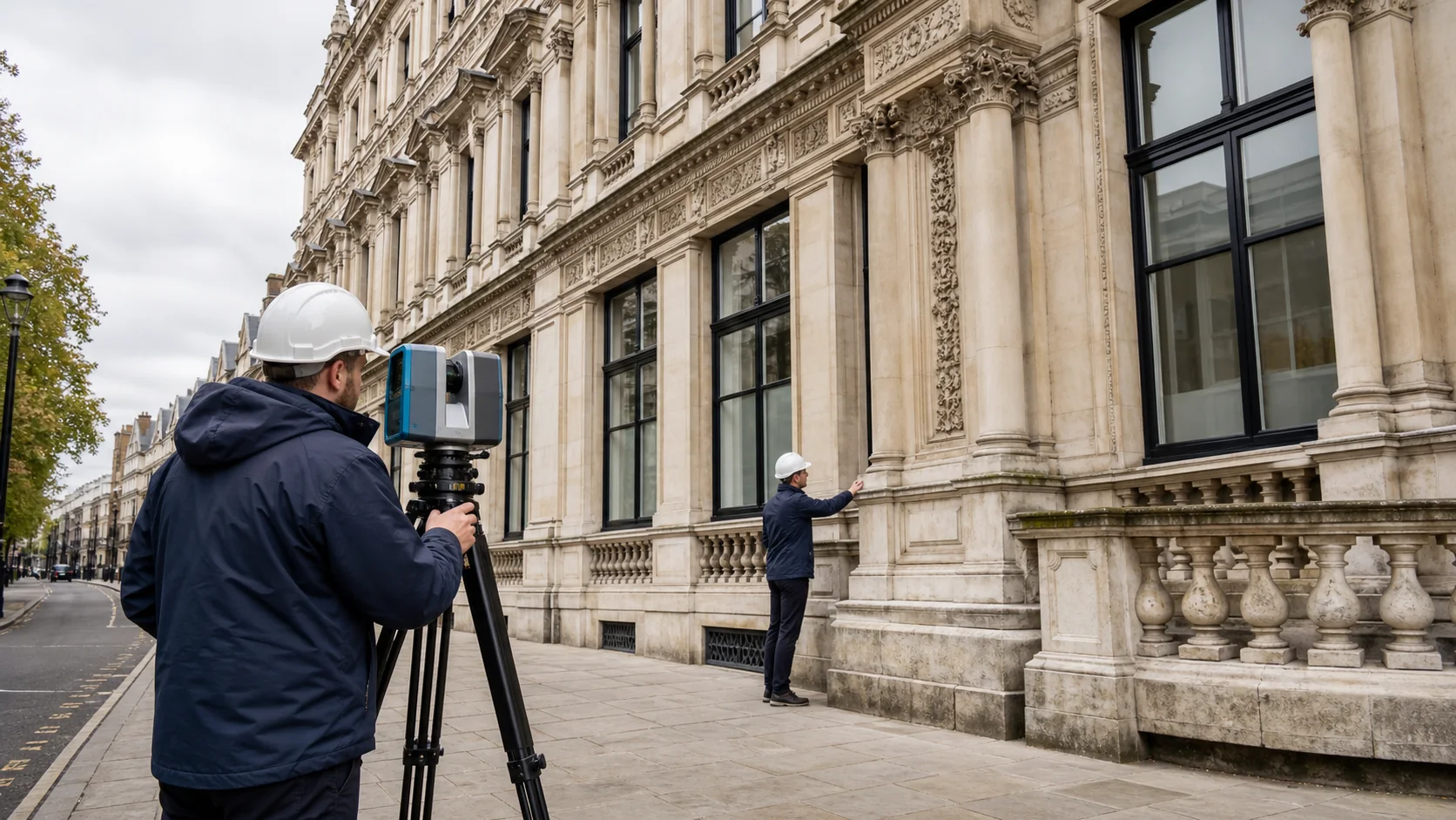
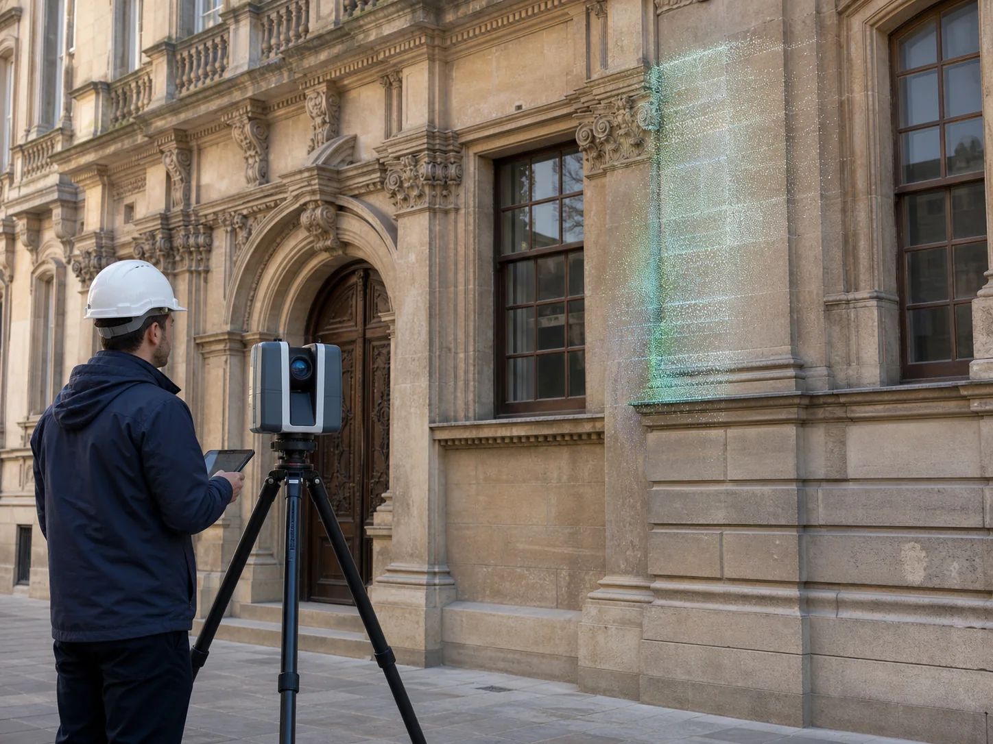
Scaled imagery, point cloud, mesh, elevations, and areas requiring ground capture.
Review project approach →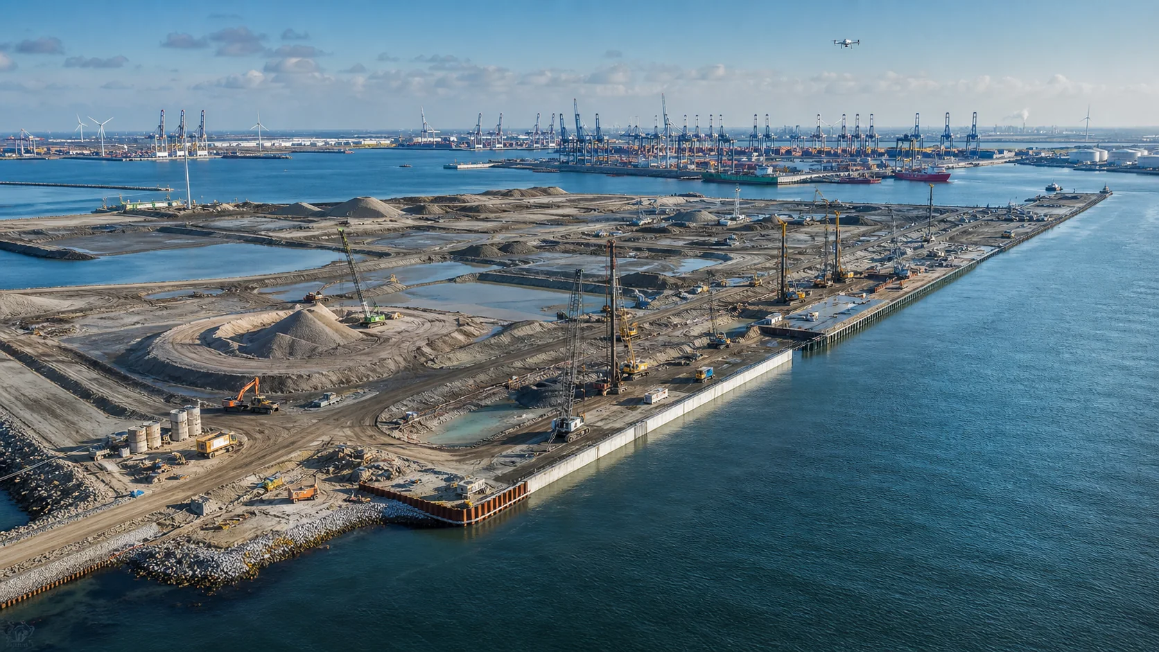
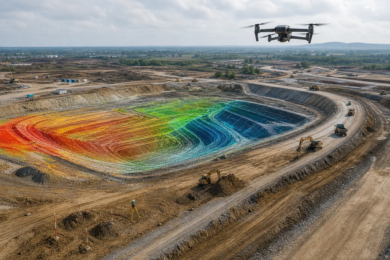
Topo, stockpiles, design comparison, and a repeatable progress record.
Review project approach →Before you award the work
We make the proposed method reviewable before mobilization and the achieved result reviewable at delivery.
Client questions
Clear answers at RFQ stage reduce technical and commercial risk later.
Accuracy is scoped, not assumed. The proposal states the target, control strategy, checkpoint method, limitations, and reporting method.
That depends on local law and intended reliance. Where licensed sign-off is required, we include a qualified local surveyor or state the limitation.
Common outputs include GeoTIFF, LAS/LAZ, DXF/DWG, LandXML, SHP/GeoPackage, PDF, and web viewers.
The proposal assigns responsibility for airspace authorization, access, inductions, permits, and local operator requirements.

Project RFQ
Tell us where the project is, which data deliverables you need, and what accuracy or compliance constraints matter.