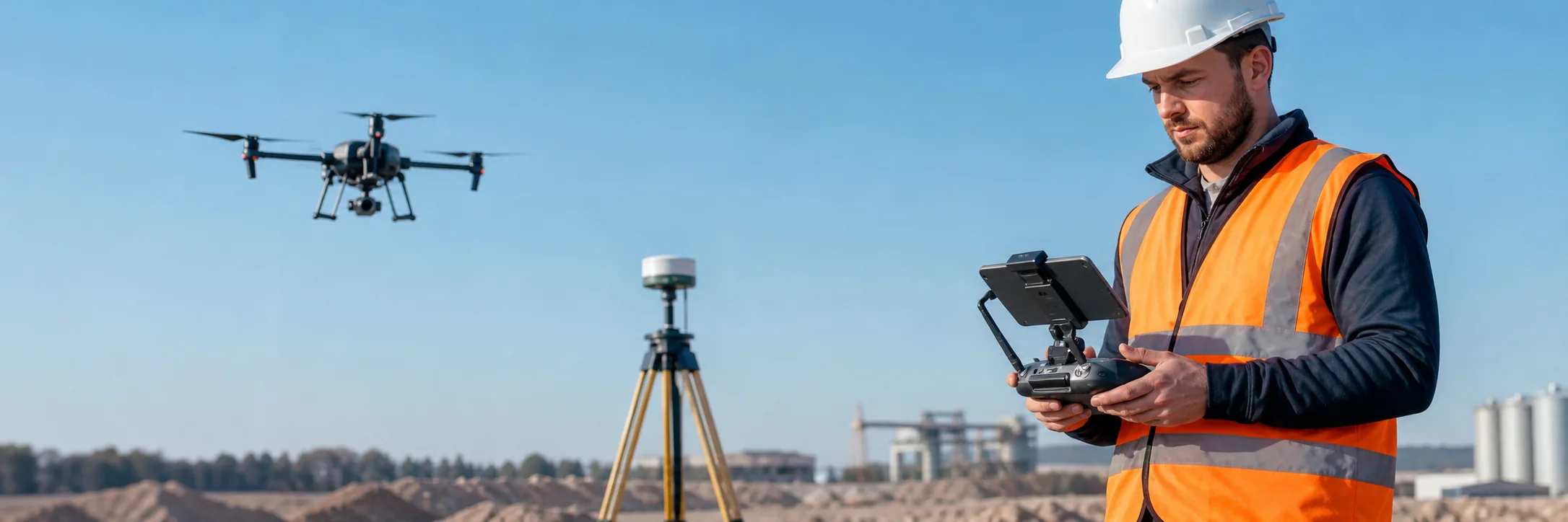
Measurable records of complex assets
Aerial and terrestrial capture are combined where necessary to reduce blind spots and create documentation suitable for design, conservation, and asset management.
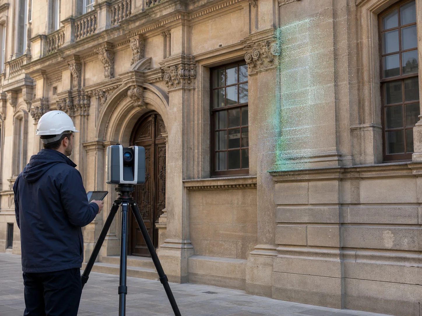
Measurable point clouds, meshes, elevations, and imagery for buildings and assets.
Aerial and terrestrial capture are combined where necessary to reduce blind spots and create documentation suitable for design, conservation, and asset management.