Geospatial data prepared for real decisions
We plan the coordinate reference system, ground control, validation, classification, formats, and metadata around your downstream workflow.
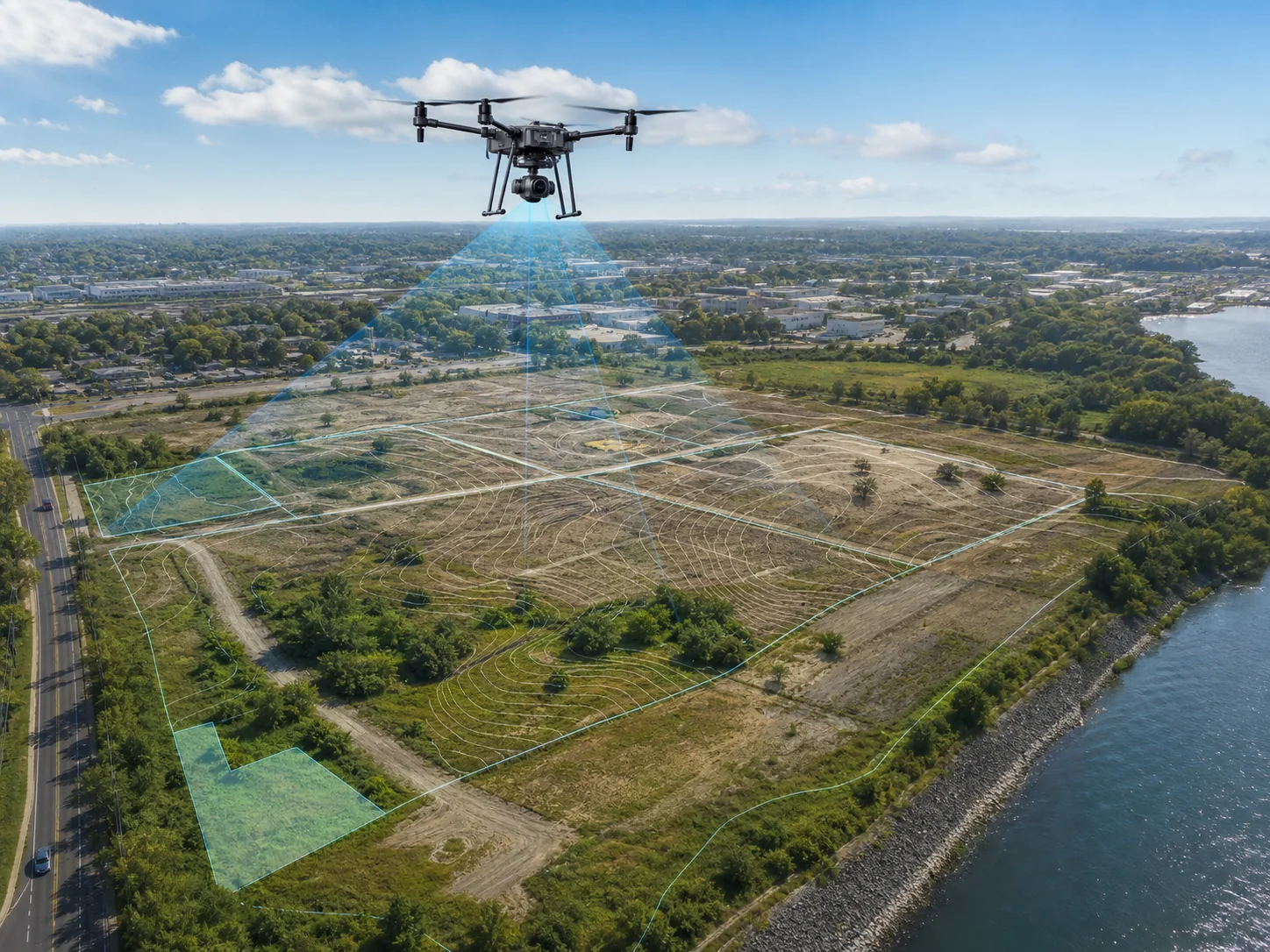
Survey-grade mapping deliverables prepared for CAD, GIS, and engineering workflows.
We plan the coordinate reference system, ground control, validation, classification, formats, and metadata around your downstream workflow.